In the Hoosier state of Indiana, backpacking does not seem like a reality. Once you start researching and dig a little, you will find there are quite a few places to backpack in Indiana. One, in particular, and one of the most popular, is The Tecumseh Trail. A 40+ mile one-way trail, starting at Morgan Monroe State Forest and ending in a remote area in Brown County.
My wife and I have talked about hiking this for some time now. Given certain circumstances and then the pandemic, we just kind of went for it. We spent weeks researching and planning our trip, carefully planning on what to take and how many days it should take vs. how many days it could take. We strategically mapped out 4-5 different scenarios. This mainly depended on how exhausted we felt and how many miles we were realistically able to do.
The Final Game Plan
Day 1: Hoosier National Forest to Fox Den Shelter – 13.9 miles
Day 2: Fox Den Shelter to Yellowwood State Forest – 16.3 miles
Day 3: Yellowwood to Hoosier National Forest End – 12.3 miles
We wanted to complete the trail within 3 days, but also had 1 extra day if we needed it.

Day 1:
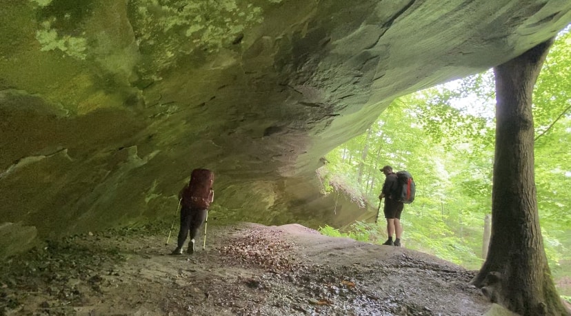
Finally, after all the planning and talking, we parked at the Morgan Monroe Headquarters and headed off. Feeling confident, prepared, and getting those first few steps on the trail felt great. We were finally doing it. The mileage on the map for the first day was around 13.9 miles to Fox Den Shelter. Around mile 3, we stopped for a quick break at Rock Shelter. An odd overhang of rock that you can walk under that has been eroded. After our quick water break and taking some photos, we ventured onto the first shelter, the Back Country Shelter, around the 8.5 -mile marker. This shelter was newly built in 2020, and we were excited to see it. Upon reaching the shelter, we stopped for a bite to eat and a water break, as well as plan. It seemed to take an extra mile or so to reach the Back Country Shelter, according to the Apple Watch and the All Trails App. It was already around 5pm, and we were still committed to making it to Fox Den Shelter that night, so we packed up and headed off. We were fortunate that the streams were active and never had to worry about water, so we stopped often to re-hydrate.
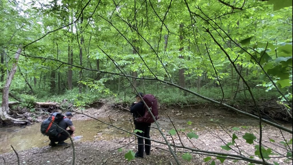
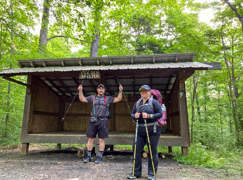
Our hiking time seemed to get slower and slower with every step. Once we hit mile 14, and we still hadn’t reached Fox Den Shelter, we were devastated. By this time, it was around 9pm, and it was dark, and our headlamps were full blast. We were so tired and just ready to hang the hammocks. I checked the All Trails map and it showed a little further. Once we saw the shelter, I was so relieved yet so motivated to get unpacked and lay in our hammocks with a warm meal. Once we were comfy and full, we went back over our GPS, and it was tracking over 16 miles on the first day when it was only supposed to be 13.9 according to the map. The second day was supposed to be our longest day at 16 total miles to Yellowwood, but now we are starting to get a little worried about our next leg of the hike. We finally drifted off to sleep, warm and cozy in our hammocks.
Note: I was awoken in the middle of the night around 3am to the loud barking of dogs, which seemed to be getting closer and closer. I peeked out of my hammock and saw a dog run by. I’m not sure what type of dog it was or why so many dogs were barking. I know the trail runs through private property lines, but that was unsettling, and it was hard to fall back asleep.
Once back home, I read other hikers had experienced the same situation we did at Fox Den Shelter.
Day 2:
After a rather rough night with all the dogs running around and barking, we surprisingly felt decently rested for day two. It took some time to get moving, but once we got breakfast and coffee finished, we packed up and started our journey to Yellowwood State Forest. Yellowwood is at mile 30.2 on the map, around 16.3 miles away, but after the first day, we were worried about how much longer it was actually going to be.
After a few miles on the trail, we suddenly ended up on gravel roads that are not very friendly on already sore feet. As the sun hit midday and hiking on mostly gravel roads, our feet started to hurt more and more. The humidity started to get to us as well. We frequently stopped for water breaks and filtered more water from the streams we crossed. The first goal of the day was to make it to Charlie’s Shelter. This shelter was built in 2019 on top of Indian Hill and about midway to Yellowwood State Forest. Once we saw the shelter through the trees, we were so excited. This was a beautifully built shelter with two large fire pits with log chairs around for many people to enjoy a night-time fire.

We took the opportunity to use the shelter to get out of the sun and get some much-needed rest and food to refuel. After getting comfortable, it was hard to pack up and leave, knowing we still had more than 10 miles to Yellowwood State Forest. We even contemplated just staying at Charlie’s Shelter for the night, but we really wanted to finish this trip in 3 days.
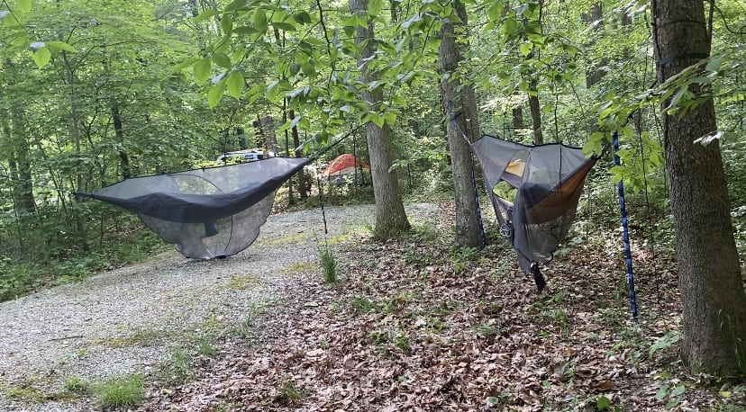
We headed off back into the forest, knowing we still had a lot of miles to cover. We seemed to get slower and slower in this part of the trail due to so many uphill switchbacks. There was a point when I didn’t think we would make it. It was humid, and the switchbacks seemed never-ending. What seemed like hours and hours later, we made it to Yellowwood State Forest just before dark. We had been hiking for almost 12 hours. We looked at the GPS and saw that we’d hiked 19 miles, not the 16.3 according to the maps. Another day with extra miles we just were not prepared for. Once we hiked around the lake and got to a campsite, it was already dark. I thought I would pass out; I couldn’t get my hammock up fast enough. I was so tired I felt like I was moving like a sloth. I ate what I could before finally my body said it’s time for sleep.
Day 3:
Waking up to the third day, the sun was out, and the air was cool with a slight breeze. It was the perfect morning to hike if our feet and legs weren’t shot. Personally, my feet hurt so bad and just standing hurt my shins. We had around 12 miles left, and we heavily contemplated calling a ride and call it. After taking some ibuprofen and eating breakfast, we agreed to just finish the trail, whether it took us all day or not. We planned to just walk slower and take our time.
Once we started moving and thinking positive thoughts, and that we were so close to being finished, we started off at a pretty decent pace. Suddenly, our feet and legs didn’t hurt as much. Crossing small creeks and ravines, it was a disappointment to leave Yellowwood State Forest. Especially once we’d climbed out of our last ravine and noticed that we now had more gravel road walking to do. All our motivation was shot as that type of road was what had been hurting my feet the most. We took some big breaths, downed some water, and trekked along.
After what felt like hours, we finally came to US 46, a major heavily trafficked road. The trail runs along this road while cars speed by and the sun beats on the back of your head, making it feel hotter than ever. We came up to the Belmont Hotel and stopped for a couple of sugary Cherry Cokes out of their vending machine. This was probably the best tasting Cherry Coke I’d ever had touch my lips.
While figuring out how many more miles we had left, the owner of the hotel let us sit in the shaded grass to rest for a while. It was the best hospitality we’d had from another human in days. It lifted our spirits so high that we rested a little too long. After thanking the Belmont Hotel for allowing us to sit around, we had more road walking to do. Having under 8 miles to go, we set our feet back on the pavement, hoping the soft dirt trail would come sooner than later.
Finally, we reached the dirt trail again, and my feet were grateful. One last stretch to go, yet we were quickly slowed down as the trail was overgrown, and we had to pick ticks off left and right on our legs and ankles. Daylight was quickly coming to an end, and we did not want to be hiking in the dark again. We tried to hike a little faster, but by this time, our feet and legs had started to say it was time to stop. Finally, peeking through the woods, I could see a car. It was my car! I have never felt so relieved and excited. My wife had tears due to excitement, exhaustion, and her feet were in worse shape than mine.
The feeling of accomplishment felt so amazing. Just earlier, we’d been contemplating calling for a ride and were going to quit. We dug deep and figured out a way to get through the pain and finish this 42-mile journey in just 3 days.
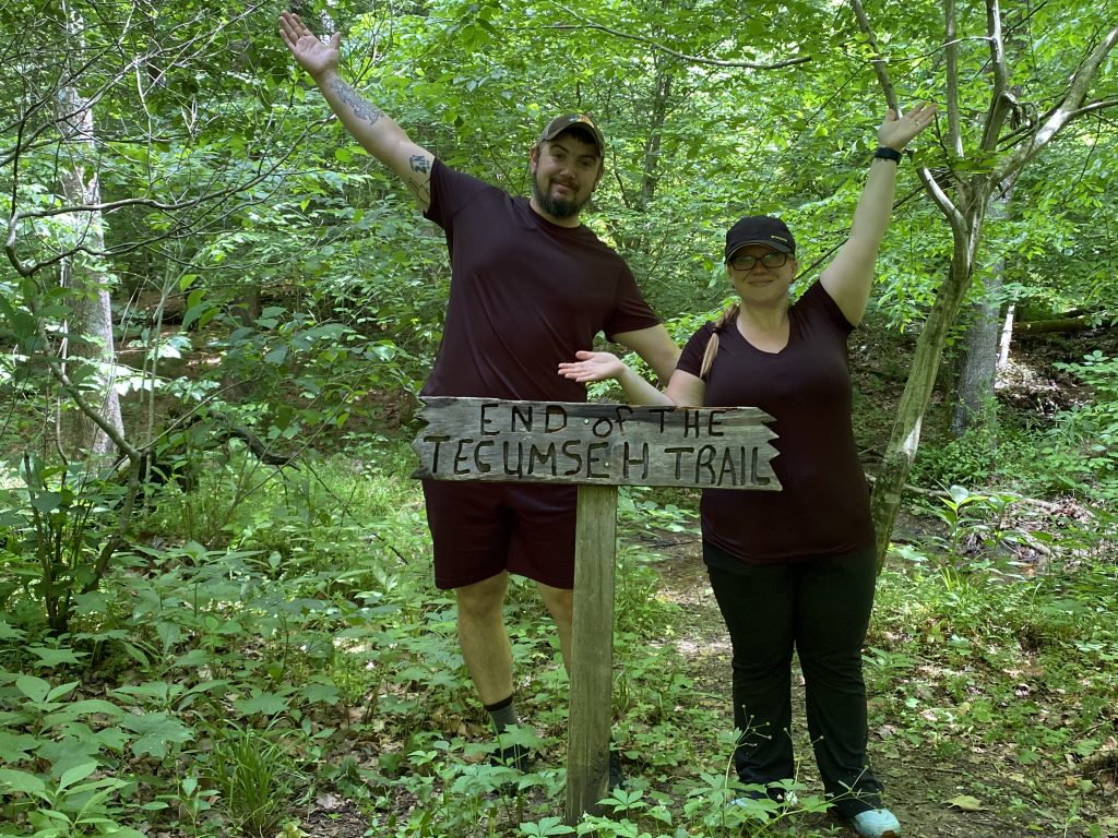
While throwing our packs into the car, we noticed the sun quickly setting, so we decided to come back the next weekend and hike to the sign. The official end of the Tecumseh trail is at a little stream with a sign. Just a couple of miles out and back. Now that we have finished the Tecumseh, we are ready for the next hike.
If you are interested in attempting the Tecumseh Trail, visit the Hoosier Hiker Council site and download their guide. It’s very well put together and very detailed. You can also order a hard copy map on their website.
https://www.hoosierhikerscouncil.org/tecumseh-trail/
Are you are interesting in backpacking, but don’t know where to start? Read our guide for new backpackers below.
